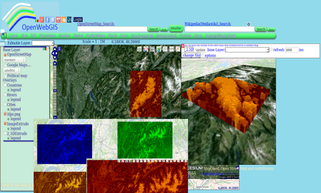
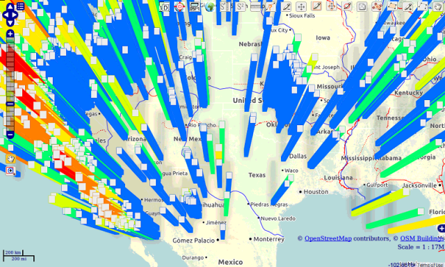
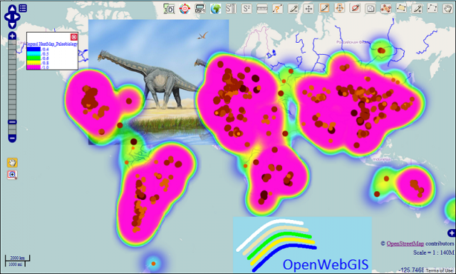
OpenWebGIS - OpenWebGIS is created for everyone who wishes to see and use a new free&open Geographic Information System(GIS). Please make your comments and suggestions. In this GIS you can use the extensive mathematical functionality to calculate and analyze your data. Using OpenWebGIS you will get a GIS at your disposal, it may be similar in functionality to some desktop GIS. Please support this project. The OpenWebGIS for Android has online and local version. In local version, you can use OpenWebGIS without having to connect to the server of OpenWebGIS and even without Internet connection. In local version, some functions do not work, but in future there will be the modification of these functions for the local version. The OpenWebGIS blog (http://openwebgisystem.blogspot.com/) provide a lot of information about possibilities for users' data operating. Full list of articles about OpenWebGIS: http://openwebgisystem.blogspot.com/2015/08/list-of-articles-about-openwebgis-in.html
Like it? Share with your friends!
Supported operating systems:
Google Android 10.x, Google Android 3.0, Google Android 3.1, Google Android 3.2, Google Android 4.0, Google Android 4.1, Google Android 4.2, Google Android 4.3, Google Android 4.4, Google Android 5.x, Google Android 6.x, Google Android 7.x, Google Android 8.x, Google Android 9.x
Similar Software:
Gomodo - Firefox Addon Gomodo - Firefox Addon - Search engine for web developers. Look in the reference sites and official documentation. (HTML / CSS, PHP, Javascript, jquery, prototype ...). You can optimize your search by choosing the type of language
Linux GTKSharp Programming Linux GTKSharp Programming - GTKSharp Tutorial 'Looks Good! Feels Good'! For any application, we feel it's good when it 'Looks' good
Mgmt Information System Mgmt Information System - This tutorial has been prepared for the beginners as well as advanced learners who want to learn the basics of Management Information System
Software Architecture Design Software Architecture Design - This tutorial is designed for all software professionals, architects, and senior system design engineers. Managers of architecture teams also will be benefited from this tutorial
Virtual/Augmented Reality Package Virtual/Augmented Reality Package - The virtual reality package is a library for virtual/augmented reality applications.
The library is currently under development and at the current stage, there is much work left to be done
ConnectBot ConnectBot is a Secure Shell (SSH) client for the Android platform. Its ultimate goal is to create a secure connection through which you can use a shell on a remote machine and transfer files back and forth to your phone
CroakDroid CroakDroid - CroakDroid Lite is an unofficial Client application for the Hoptoad Error Tracking Service. It can be used to retrieve errors and display details about them. Requires an existing account and Auth Token.
This app is not officially associated with Hoptoad in any way. The name and logos for Hoptoad are trademarks of thoughtbot, inc
Website based software Website based software - We develop Website based software as per client’s requirements. With these software clients offices / factories at different locations can do the data entry and view reports at the same time
MobiAccess Development MobiAccess is a mobile development framework that enables developers to easily create mobile applications for data collection without extensive knowledge on mobile development. It handles data replication (mobiSync) and data visualization (mobiVision) as well
Learn Avro Learn Avro - This tutorial is prepared for professionals aspiring to learn the basics of Big Data Analytics using Hadoop Framework and become a successful Hadoop developer. It will be a handy resource for enthusiasts who want to use Avro for data serialization and deserialization
Comments on OpenWebGIS:
Comments not found
If you noted an error or download link is broken, please, report it via this page or use comments.
OpenWebGIS is compatible with your device ZTE Q508U Dual SIM TD-LTE