GeoRecorder - The ONLY GPS logger app you'll ever need on the Android platform!
· Automatically log your location when you use Google Map, Foursquare or any other app that uses GPS information
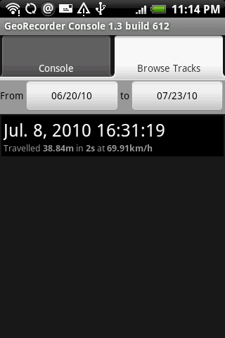
· Save logged data in KML, GPX or CSV format
· View logged tracks in built-in map view
Like it? Share with your friends!
Supported operating systems:
Google Android 1.5, Google Android 1.6, Google Android 10.x, Google Android 2.0, Google Android 2.1, Google Android 2.2, Google Android 2.3, Google Android 3.0, Google Android 3.1, Google Android 3.2, Google Android 4.0, Google Android 4.1, Google Android 4.2, Google Android 4.3, Google Android 4.4, Google Android 5.x, Google Android 6.x, Google Android 7.x, Google Android 8.x, Google Android 9.x
Similar Software:
AugSatNav Walk AugSatNav is an augmented reality navigation system which overlays walking directions upon a live video feed of the path or road ahead.
With AugSatNav there is no need to follow instructions or interpret maps - you can simply find your way by walking along the route highlighted by a bright white line
OakLogAndroid OakLogAndroid Logger application for your Android device. Records GPS and sensor information on your phone.
The log files (*.olg) can later be loaded into TrackView.NET and viewed in all their 3D-glory.
· Logs GPS position, altitude, speed, etc
Wizi SMS with Location (Android) Wizi SMS with Location lets you instantly share your location with anyone by SMS. The location map can be opened on any mobile phone with a browser, namely older phones. This tiny application is available for free and does not require registration
GPS Assistant GPS Assistant - GPS Assistant is a simple and intuitive app which shows location data from the GPS receiver. You can check your coordinates (latitude and longitude) and altitude. Additionally, it includes a speedometer.
What's New in This Release:
· Changed ad network
What's New in 1
amAze (Sony Ericsson) AmAze is a first of its kind free navigation and local search service. It is free to download and use and it contains wide coverage of maps including aerial photo in Europe, North America, Australia and parts of Asia and Africa
Mileage (Android) Mileage is a mileage tracker for an Android-powered phones. Allows importing and exporting of data in various formats, so it is easy to sync with your existing logs. Supports GPS recording
geo-localise.fr Partage en temps réel de votre position GPS sur le site web geo-localise.fr
Fini les « allo, t’es ou » !
OpenSatNav OpenSatNav brings open-source satellite navigation to Android handsets.
· All code is open source.
· Global maps and navigation based on OpenStreetMap data
· Navigation by car, bicycle or by foot
Maps In My Pocket (MIMP) Maps In My Pocket - The main goal of this application is to allow its users to view maps, locate themselves, follow KML or GPX formatted tracks and getting directions from place to place.
What's New in This Release:
· New Icon
What's New in 1.4.3:
· Long press and long pinch concurrency on info bubble solved
Run.GPS Trainer UV Run.GPS Trainer is the perfect tool for sports like running, skiing and walking. It uses the Global Positioning System (GPS) to record all of your training parameters like speed, distance and altitude.
Run.GPS Trainer UV is the successor of of the award-winning Run.GPS Trainer software and has tons of new features
Other Software by developer «Idea Matters»:
MemoDroid MemoDroid - Memory training tool for Android. Utilizes "spaced repetition" theory to manage intervals for every item based on your responses in previous repetitions in order to boost the efficiency of your learning.
Import SuperMemo data including learning progress
Sensor List Sensor List lists all sensors available on the device along with their current values and a plot to display their changes over time.
Including accelerometer, magnetic field, orientation, temperature, light...
Can be a handy tool for development or hardware testing purpose
Surveyor Surveyor - Measure distances with a single click on your Android phone!
All you need to do is point your phone to the object you want to measure, and select the point where it touches ground from the screen.
What's New in This Release:
· Use gyroscope to improve accuracy and smoothness of Augmented Reality result

")


")

")
")


")


