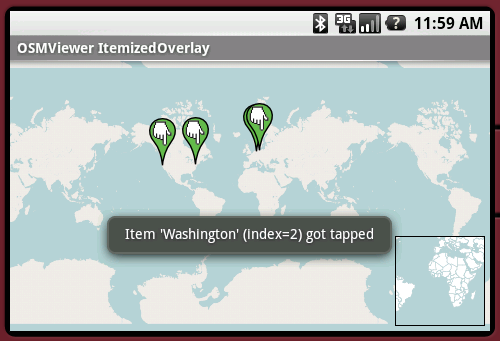
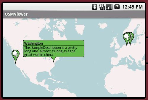
OpenStreetMapViewer provides Tools / Views to interact with OpenStreetMap-Data.
The OpenStreetMapViewer is a (almost) full/free replacement for Android's MapView class.
Like it? Share with your friends!
Supported operating systems:
Google Android 1.0, Google Android 1.5, Google Android 1.6, Google Android 10.x, Google Android 2.0, Google Android 2.1, Google Android 2.2, Google Android 2.3, Google Android 3.0, Google Android 3.1, Google Android 3.2, Google Android 4.0, Google Android 4.1, Google Android 4.2, Google Android 4.3, Google Android 4.4, Google Android 5.x, Google Android 6.x, Google Android 7.x, Google Android 8.x, Google Android 9.x
Similar Software:
CoPilot Live UK + Ireland (Android) CoPilot Live UK + Ireland (Android) - CoPilot Live is full-featured voice-guided GPS navigation with street maps of 1 European region stored on your Android phone. Includes 3D guidance, lane assist, speed limit warnings, safety camera alerts, planning mode.
Download maps via WiFi after purchase. Unlimited use after 10 days once Google order verified
Map Locate Ad This app is not created to replace Google Maps or other feature rich mapping apps. What this app does is to serve a simple need for certain group of users. Use case is you own jpg,png image files of tradeshow,house,store,apartment,garden etc floorplan and you want to draw pins on different location
UMichBusMap An Android application which shows the live positions of University of Michigan buses overlayed on Google Maps
OS Map OS Map is a tool to turn your Android phone into a handy Ordnance Survey map, with your GPS position pinpointed on it!
· Nearly all OS Map scales available (including 250,000 and 50,000).
· Touch-scrolling - simply use your finger to drag the map around.
· Fast resume from standby and fast position updates
ViewRanger GPS ViewRanger is a unique mapping, navigation, tracking, and information tool for mobile phones that provides fully featured outdoor gps and trail navigation through a natural and intuitive display. ViewRanger transforms a Nokia or other Symbian S60 smartphone into a fully featured trail navigation system
amAze (Android) AmAze is a first of its kind free navigation and local search service. It is free to download and use and it contains wide coverage of maps including aerial photo in Europe, North America, Australia and parts of Asia and Africa
MapDroyd MapDroyd - Of course, today there are many Android application featuring street maps. Most of them are based on Google Maps, which means you've to enable your mobile device's network connection through a GPRS or Wifi connection
zhiing zhiing connects people-to-people, people-to-places and people-to-services with dynamic maps and turn-by-turn driving directions. Forget about map printouts or scribbling down directions....use zhiing! Simply enter the mobile number you want to zhiing and hit send
MAPS.ME for Android MAPS.ME for Android - MapsWithMe allows you to access maps of all the countries in the world while on the go. The maps are based on OpenStreetMap data and work completely offline, without requiring an internet connection
Other Software by developer «Nicolas Gramlich»:
AndEngine - Examples AndEngine - Examples - AndEngine is a free Open Source 2D OpenGL Game Engine for the Android platform.
This application contains various Examples that showcase what developers can do with this engine.
Install this to stay tuned with the progress.
Join the AndEngine-Community at:
http://www.andengine
AndWeather AndWeather provides a 4 day weather forecast for any location in the world
AndPizza AndPizza is an Pizza/Egg-Timer for Android phones
AndTip AndTip is a Tip-Calculator for Android phones
AndSudoku (Android) AndSudoku is a Sudoku clone for Android-powered phones. The goal is to fill all fields with numbers from 1 to 9 in an order that every row and every column contains each of the numbers only once. Also every 3x3 SubBox may contain every number just once


")


")

")


")