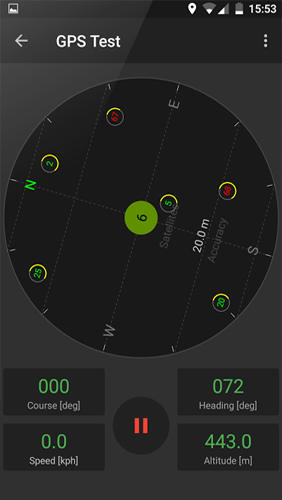
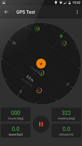
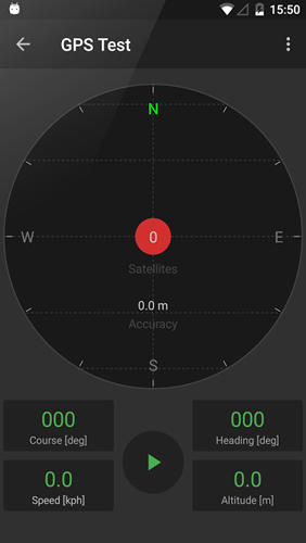
GPS Tools - is an application for calibration of a satellite module of your smartphone. The utility uses a magnetic compass, makes changes to the route, speed and accuracy of the displayed data. As soon as the calibration is completed you can track your location with maximum accuracy.
Game features:
Magnetic compass
Commercial free
Fast calibration
Big number of satellites
Like it? Share with your friends!
Supported operating systems:
Google Android 10.x, Google Android 4.4, Google Android 5.x, Google Android 6.x, Google Android 7.x, Google Android 8.x, Google Android 9.x
Similar Software:
Redpin The aim of the Redpin project is to create an open source system that allows indoor positioning up to room-level description using mobile phones
GpsTicker Gpsticker is a program for outdoor orientation and navigation with GPS, it is best for hiking and biking. Maps are downloaded automatically from OpenStreetMaps, provided the Phone has an active internet connection
NAVIGON select NAVIGON MobileNavigator - GPS Navigation NAVIGON MobileNavigator GPS Navigation Very important: ONLY customers who already have one of the previous full versions bought can use this software as an update
CompassNavi Compass / Navigation Activity, mainly for OpenGPX, but can be used from any application
Phone Tracker Do you want to locate any cell phone right now? Free phone tracking through gps satellite system. Trace any cell phone - whenever wherever!
SportsTracker (by STL) SportsTracker (by STL) - Share, compare, train and compete in your sport on
http://sportstracklive.com
Live sports tracking from your android phone
http://sportstracklive.com
Beat your personal bests!
Superior GPS sports tracking app. Running, cycling, mountain biking, skiing, snowboarding, sailing, biking, flying, gliding
GPS Tweet GPS Tweet - Share your location with a Tweet, it's easy... download and install this app, after opening it, write a message, press the Twitter logo for sharing your position on Twitter, your friend sees a link, when he clicks the link he sees your position and your message on Google Maps
CoPilot Live Premium UK + IRE (Android) CoPilot Live Premium UK + IRE (Android) - Now there’s a better way to navigate.
CoPilot Live Premium is the essential voice-guided sat navigation app to get you where you need to go, by the way that suits you best.
Detailed street maps of one single European region (e.g
GeoPix GeoPix - Headed to work or class? Want your school's mascot or company logo to show up as your wallpaper, "abracadabra" style, just as you arrive? Simply choose an image from Myxer’s massive catalog of wallpapers, or grab one from your phone, set the address- and watch it "auto-magically" appear as you reach your destination
Zeen - Building Road Awareness Zeen, building road awareness together! Zeen is a fully featured, community driven mapping solution. - Over 500,000 data points at launch! Will continue to build thanks to the community! - Police Locations - Red Light Camera Locations - Speed Camera Locations - Traffic Reports / Locations
Comments on GPS Tools:
Comments not found
If you noted an error or download link is broken, please, report it via this page or use comments.
GPS Tools is compatible with your device Micromax E311 Canvas Nitro 2 Dual SIM


")
")

