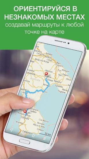
Maps.Me: Offline mobile maps - is an application which provides fast access to the maps of all countries and allows you to make best routes without requiring Internet connection.
Game features:
You can send a mark with any place on the map by e-mail or in the message
Import and export from other maps for convenient access any time
Bookmarks of interesting places
Auto turn mode
Offline search
Like it? Share with your friends!
Supported operating systems:
Google Android 10.x, Google Android 4.0, Google Android 4.1, Google Android 4.2, Google Android 4.3, Google Android 4.4, Google Android 5.x, Google Android 6.x, Google Android 7.x, Google Android 8.x, Google Android 9.x
Similar Software:
Trip Journal Lite Trip Journal Lite is the ultimate trip tracking, recording, documenting and sharing solution that is currently available for Android phones
MapsWithMe Pro for Android MapsWithMe Pro for Android - MapsWithMe allows you to access maps of all the countries in the world while on the go. The maps are based on OpenStreetMap data and work completely offline, without requiring an internet connection
World Map 2011 FREE World Map 2011 FREE - World Map
*** NEW RELEASE ***
View a large quick reference World Map on your Android today!
Contains Up-To-Date World Maps!
Did you know?
-------------
South Sudan became the world's 195th country following separation from Sudan on 9 July 2011
Features
---------
- Political World Map
- No internet connection is required
yozi yozi is a navigation software for the Android platform. It uses digital topographic maps in well-known Ozi Explorer formats for navigation and doesn't require network access like built-in Maps application on Android
CoPilot Live Premium UK + IRE (Android) CoPilot Live Premium UK + IRE (Android) - Now there’s a better way to navigate.
CoPilot Live Premium is the essential voice-guided sat navigation app to get you where you need to go, by the way that suits you best.
Detailed street maps of one single European region (e.g
CopsAlarm No more tickets Show where the hiding police are on Google Map As well as speed cam,red light locations Lite shows police,red lights only
Android FindMyCar Android FindMyCar - Innovative software for Android devices that uses the GPS signal to show signs that allow to reach a geographic location.
Suitable for various uses (eg. find car parked in a parking area or in an unknown city, finding a person (who has sent their coordinates) in a lovely beach, in a fair, in another boat, find an area of sea fishing, etc..)
NavStarter NavStarter is a little app that can be used for the Google Navigation Hack to navigate to an address without first creating a shortcut
Geosearch Geosearch is a free/open source application which allows you to monitor the movement of users on a Google map. You can send SMS, make calls and find the optimal road to reach another user
Comments on Maps.Me: Offline mobile maps:
Comments not found
If you noted an error or download link is broken, please, report it via this page or use comments.
Maps.Me: Offline mobile maps is compatible with your device Huawei Honor Note 10 Standard Edition Dual SIM TD-LTE CN RVL-AL09 64GB (Huawei Ravel)

")


")


")


