Transit Maps USA Free Transit Maps USA Free - The only Transit Maps app of its kind. You can select the city you want to see the transit maps for and zoom in to view the map in detail on the full screen. You can easily zoom-in, pan, and zoom-out using one hand only. You can now plan your trip from anywhere, any time - no Internet/data connection required
Sun Locator Lite Sun Locator Lite - See a map of where the Sun is shining!
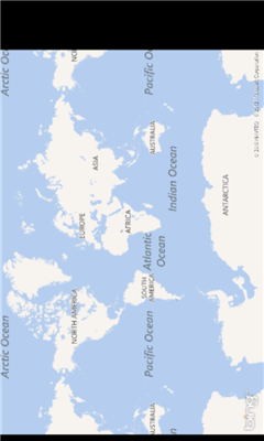
Sun Locator Lite displays a map showing the areas of night and day on the Earth. The map displays your current location and gives your current geographic coordinates.
No network coverage is needed to run this app
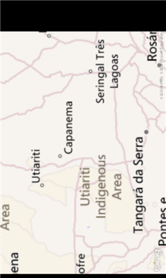
Mr.Map Mr.Map help users to find any place on the world using world map
GeoBC Showcase GeoBC Showcase - This app takes advantage of geospatial layers provided by GeoBC. It will include Federal Electoral Districts and Local Health areas plus Primary Survey Parcels in British Columbia, Canada.
Select one of the layers from the list, then press a point on the map and hold to get information about that geographical point
A-Z London Visitors A-Z London Visitors - Visiting London? Download A-Z's handy free London Visitors' Map. The map provides a quick and simple overview of the major places of interest in London.
For more detailed mapping covering a much greater area, please see our full A-Z of London app (search Marketplace for A-Z London)
MS Campus Maps MS Campus Maps - Need to quickly get to your next meeting? No matter if you are walking, driving, taking a shuttle, or trying to find a conference room inside a building, Microsoft Campus Maps is the solution.
Microsoft Campus Maps features:
* Walking directions to any building on the Redmond campus
SketchMaps Free! SketchMaps Free! - SketchMaps is the very first drawable live map which can also be saved to pictures. It's an unique idea and it's first of its kind. It's that simple. Please, view screenshots!
SketchMaps Free is full-featured, but will show ads. You can buy the full version of SketchMaps at any time to remove the ads
Canada Topography Canada Topography - provides topographic information for the entire country of Canada. The maps provide details such as altitude, railways and numerous other layers. Using the GPS you can center on your current location and even zoom to specific areas of the country.
All maps are provided by Geocratis Canada (http://www.geogratis.gc.ca/geogratis/en/service/toporama
Other Software by developer «PWSZ»:
not found
Comments on Mapa:
Comments not found
If you noted an error or download link is broken, please, report it via this page or use comments.